
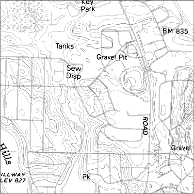
Above you will see an example of a USGS hydrographic DLG of the Tsala Apopka Basin located in Citrus County, Florida.
DLG stands for Digital Line Graph. DLGs contain a wide variety of information, including but not limited to: topography, hydrography, boundaries, roads, utility lines, and vegetative surface cover. Digital Line Graphs (DLGs) are digital vector representations of cartographic information derived from USGS maps and related sources. Data about map features are stored as lines (arcs), points, and polygons (areas).

No comments:
Post a Comment