skip to main
|
skip to sidebar
Tuesday, September 23, 2008
Isotachs
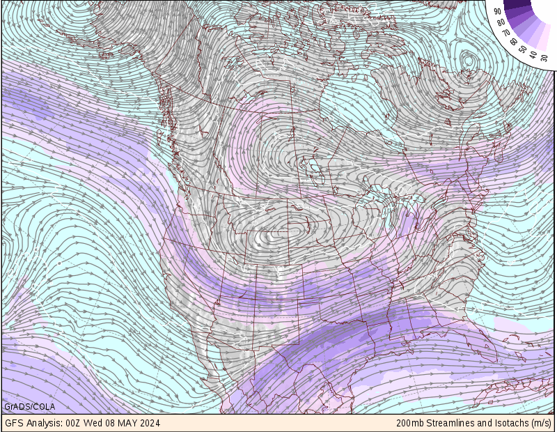
Isotachs are contour lines on a map indicating equal wind speeds. So, all points along an isotach would have equal wind speeds. Below is a map with isotach contour lines of wind speeds across north america.
http://wxmaps.org/pix/avnmr5.00hr.png
No comments:
Post a Comment
Newer Post
Older Post
Home
Subscribe to:
Post Comments (Atom)
Molly's Map Catalog - GIS 3015
Blog Archive
▼
2008
(54)
►
November
(5)
►
October
(19)
▼
September
(26)
DLG
Continuously Variable Proportional Circle Map
DOQQ
DEM
DRG
Isopleths
Isoplaths
Isohyets
Isotachs
Isobars
LIDAR
Doppler Radar
Black & White Aerial Photo
Infrared Aerial Photo
Cartographic Animations
Statistical Maps
Cartograms
Flow Maps
Isoline map
Proportional Circle Map
Choropleth Map
Dot Distribution map
Propaganda map
Hypsometric map
PLSS Map
Cadastral Map
►
August
(4)
About Me
Molly Rose
View my complete profile

No comments:
Post a Comment